Monday, June 13, 2011

14: Cape Lookout State Park

Date: 6/4/11
Time: 6 hours
Distance: 8.4 miles + a little extra!
Difficulty: Moderate
Stars: 4 

So this wonderful coast hike means Kyle and I are finally caught up in all the hiking posts we need to do. But we are also planning on doing some other blog posts now that we will need to fill the space until we get out hiking again! We went to Seattle way back in January and want to share that trip, we were in Chicago in April, and Missouri in May. My brother, Andy, visited in April, and then we think we are going to start blogging about the great places to eat. So if you start seeing a wider variety of posts, its because we don't have lots of time to hike anymore! I also want to do a post about my new job!! So keep a lookout for those!

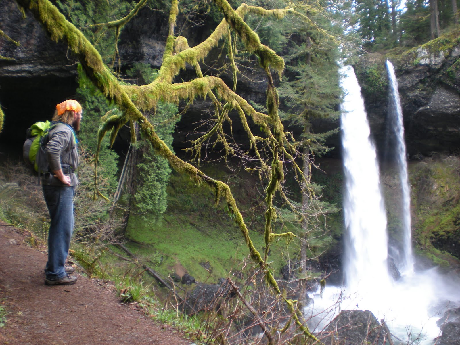
Bears like the coast too!!
Apparently the coast is bear country!
No on to this hike...

Kyle and I have been to the Oregon coast 3 times now and I am still amazed by the beauty of it! While driving to the trailhead, we realized this was one of the spots we stopped at when we were with Kyle's family back in January-it is part of the Three Capes Scenic Loop. Even back in January when it was really cold we were all thinking about hiking down to the cape! Plus there were cars in the parking lot! So when we pulled up and there were TONS of cars, we weren't too surprised.

There are technically 3 paths in this hike: down to the cape, right to the picnic area, and left to the beach. We went to the cape and to the beach. We started by going down to the cape first, and the cape is seriously like a giant finger sticking out into the ocean, so the hiking trail weaved back and forth so we saw the coast both to the north and south. The hike was mostly downhill and with quite a few muddy places. But for a coast hike, it didn't get much better!
View to the north!
View to the south! (heading back)
View at the end of the cape! There's the stupid
guardrail...

Kyle and I were a little disappointed at the end. The author of our book told us we would get to see sea lions and seals, but there is no way you would be able to do that from the end of the trail. It just ends with a guard rail up all around and great views of the ocean and the coast to the north and south. Kyle and I were a little dissappointed so we hopped the guardrail and basically rock climbed down the side of the cape. We ended up sitting down about 50 feet below the actual stopping place and having lunch! While we were eating and taking in the beautiful view, we swore we could hear sea lions and seals! We could have kept trekking on down, but we weren't sure what the payoff would be, so we decided to save it for next time!

Over the guardrail we went!
We hiked back until we came to the intersection with the path down to South Beach. This trail is seriously all downhill and through the forest. At one point we turned a corner and had a beautiful view of the beach! It looked so close! But we still had some more to go. Once we got to the beach we walked around on the sand for a bit and then took off toward the end of the cape, but on the water's edge. We brought along our rock climbing shoes and wanted to find a space to boulder. We had to walk across tons of large rocks until we found a decent spot. Kyle climbed first, he is way more brave than me, but found that the rock wasn't the best rock to climb because chunks of the rock would just break off. So he climbed down and then we headed back.

View of the beach! And the cape we just hiked out to!
Bye bye sandy beaches...hello rocks!
My idea of rock climbing...
This wasn't even that hard to climb to!


I'm really good at spotting people while
they rock climb: I just take pictures instead!
We walked along the beach for a little bit and were going to throw around our frisbee, but the wind was so strong that the sand stung when it hit our legs! We figured we had been out for long enough by that point, and we were getting hungry, so we headed back up the trail to our car. Surprisingly, the hike back up was not as bad as I thought it was going to be! Maybe it was because Kyle and I were talking about what we were going to do for dinner the entire time!

For dinner we decided to drive about 8 miles south of our trailhead to Pacific City and eat at Pelican Pub and Brewery. Kyle and I ate lunch there when we were with his family in January, but we both liked it so much and knew we loved the beer that we went back. The wait for a table was 50 minutes, expected on a Saturday night at 7, so we took our time walking up the beach. Another reason we decided to go to Pelican was because it is located right on the beach (seriously check out the link above!!) and we wanted to walk on the beach some more! So we enjoyed the beach for about a half hour before we made our way to the bar to get beers. We then sat on the patio and watched a bunch of frisbee dogs play catch with their owner in the sand. Nothing like free entertainment!

The sand keeps going and going and going...so pretty!

Haystack Rock!

We ate a delicious dinner and drank wonderful beer before we made the hour and a half drive through the coastal mountains back to Portland. We didn't get home until after midnight! But it was a wonderful day and I am already planning our next trip back to the coast!

Friday, June 10, 2011

#12 - Catherine Creek

Date: 4/6/11
Time: ?
Distance: ~4miles
Difficulty: Moderate
Stars: 4 stars

Mt. Hood

Sunny days are few and far between during the Portland springtime, so when it does come out, you try to take advantage. In honor of Mr. Sun we opted for a hike with some of the best views in the gorge, and we made our way out to Catherine Creek in Washington. 


Catherine Creek is located just a little further up the rode from another hike we had already completed, The Labyrinth, so we had an idea of what the terrain would be like. Along with some big, wide open views, Catherine Creek is known for the wildflowers that sprawl along it's hillside. Our guide, Paul, says that is what brings him back every year. 


The hike has a figure 8 pattern option to it that comes up below a ridge line featuring "the arch" travels high along the hillside, then comes back down and finishes on top of that ridge. It was great to hike past "the arch" and take in it's form, then come back along on top of it and get a close up experience of what it is.


"The Arch"
Now on top of  "The Arch"


My favorite part of this hike was walking up along the hillsides. The elevation isn't great, but there is very little forest cover on the entire hike, so you have a full view of the gorge almost 100% of the time. And on a nice sunny day like we had, it was impressive.


As we topped out on the hillside, we entered the very small amount of forested area on the hike. It wasn't even 100 yards long, but it had a steep hillside to it. It was steep enough that we couldn't see exactly what was over it's ridge, but we got the impression it was an open area. We just didn't know how wide open it would actually be...


...it was WIDE open. The open hillsides of Catherine Creek have been unique compared to most hikes we have done in the gorge, and that is what has made it one of my favorites so far. Plus, the views of Mt. Hood are spectacular


Monday, June 6, 2011

Silver Falls State Park -#11

North Falls - One of ten gorgeous waterfalls
that can be viewed on Canyon Trail
When: 4/3/11
Time: 3hrs 45min
Distance: 7 miles
Difficulty: Moderately easy
Stars: 4

(Kyle posted Dog Mountain before we posted these other ones to show you all that, yes, we basically took off the entire month of May from hiking, but we are still going strong!)

Silver Falls State Park is known as the crown jewel of the state parks in the state of Oregon. There are 10 waterfalls that can be visited by a 7 mile hike. Also, to see the 2 main waterfalls, North and South Falls, there are parking areas by them both so if you want to just see the water you can park and check it out! Silver Falls State Park is so wonderful, one of the ten beautiful waterfalls was featured on the cover of the March issue of Sunset magazine! The Trail of Ten Falls is definitely worth making a visit too, especially on a sunny day like we had.

Kyle and I did this hike on a rare, free Sunday we had. Our frisbee team had a tournament that weekend, but neither of us could go since we both had to work on Saturday. Kyle also had to work on Sunday night, so we had to get out early. The park was about an hour and a half away, with us driving through some small Oregon towns.

The park's beauty speaks for itself! The trail starts off with a steep decline where you are immediately rewarded with a view of South Falls! You even get to walk behind it! From there on we continued walking along Silver Creek with a chance to view each of the 9 other waterfalls. I'll let the pictures do the talking!

South Falls - 177ft tall
In front of Lower South Falls - 93ft tall

Lower North Falls - 30ft tall

Took a short side trail to Double Falls - 178ft tall

Drake Falls - 27ft tall

Middle North Falls - 103ft tall
Another side trip to see Winter Falls - 134ft tall
Twin Falls - 31ft tall

Kyle gazing at the beautiful North Falls - 136ft tall
Last, but not least, Upper North Falls - 65ft tall
All of the waterfalls were off Canyon Trail (aka Trail of Ten Falls) and then we took Rim Trail back to make the hike a nice, 7-mile loop. It was cool to see South Falls from above and then be able to walk behind it! The trail also goes behind North Falls and is actually pretty deep! Most of the waterfalls have cool little stories or unique things about them, so if you want to read more about that, make sure to check out the Silver Falls State Park's website! I want to go back when its warmer out because there is a great swimming area underneath Double Falls and places to splash around in front of Upper North Falls.
Kyle gazing out at the creek and waterfall from
underneath the cave made by North Falls

The hike back on Rim Trail was through the forest and was pretty uneventful. However, we did have this one last wonderful view of North Falls at a break in the trees:

Friday, June 3, 2011

#13: Dog Mountain

Completed: 5/30/11
Difficutly: Strenuous
Time: 3.5 hours
Length: 6.9 miles
Rating: 4 stars

Hello again, nature! It sure has been awhile...

Here's a quick update/excuse as to why we haven't been hiking as much lately. MEGAN GOT A JOB!!!
She is using her higher education and working at OHSU, or the hospital on the hill, as a pediatric dietitian. It's been about 2 months of work now, and it's going great for her! But with this new Monday through Friday, 9-5 kind of schedule, it has taken away from our time to get out hiking. Saturday has become the only day to plan a hike around during the week, so our window of opportunity is much more limited now. Because of this, we have amended our hiking goal of completing all 60 hikes from our book this year and have stretched it out to a two year attempt.

Happy Memorial Day!
With that said, a real job comes with real holidays, and we found that we had plenty of time on Memorial Day Monday to get out for a hike! The only problem was that half of Portland was thinking the same thing as us... Ok, it wasn't that bad, but this parking lot to the trailhead probably featured as many cars as all our previous parking lots have, combined. On top of us deciding to hike on Memorial Day, we also chose one of the most well known hikes in the Columbia River Gorge, Dog Mountain in Washington. We anticipated the crowds and tried to get out the door as early as possible. The lot was well on it's way to filling up when we arrived, and there was about a 40 person group huddled together and ready to tackle the hike just about the same time as us, but we had an ace up our sleeve. While there is only one Dog Mountain trail, there is a second trail that loops up to the summit of Dog Mountain. It is about a half mile longer, which makes it a little less intense of an incline, but the author of our guide book, Paul, says it is much less crowded and it is his preferred/recommended approach.

up and up and up and up


Guided by Paul, we started up the Augsperger Mountain trail in pursuit of the Dog summit. And up, and up, and up we went. The trail lived up to it's reputation of being one of the toughest trails in the Gorge. It climbs nearly 3,000 ft in less than 4 miles! Hamilton Mountain gained 2,000 ft in 4.5 miles and we thought that was strenuous...


The only other moving creature we saw for
 the majority of our ascent...a giant slug


Thanks to Paul though, the intense climbing was accompanied by a lack of crowds which let us focus on how bad our quads were burning as opposed to negotiating narrow trails filled with hikers. It also let us focus on the mud, which was in abundance as we neared the top. The freshly melted snow has left some sticky and muddy trails in spots where the sun can't dry it up, and about a mile from the summit our shoes got a bit of a mud bath. Megan said that the mud was a welcome change, because she was so focused on not slipping and falling that she was no longer paying attention to the burn in her quads left over from the steepest parts of the trail.


At just shy of 3,000 feet, Dog Mountain can unleash some spectacular views of the Gorge. Of course, spring time in the Portland area can do plenty to ruin those views, even on a day forecasted with a high of 63 and partly sunny. The sun was here to stay starting around 1 pm, but there were no promises made during any time before that. We emerged from the wooded section, and were amazed to find our position and the view over the Gorge and Wind Mountain...
Now you see me...


Now you don't!
And then it all disappeared...
Wait, I'm back!


But a minute later, it was back again! I have never seen clouds move that fast.


The views along the top came and went as fast as the clouds did. We rested and ate some lunch at the summit and were entertained to watch the excitement and disappointment wash over the faces of new hikers reaching it's peak, synchronized to the motion of the clouds blowing through the gorge. The summit filled up quickly, reminding ourselves how glad we were to have taken the less crowded path. We started our way down, this time on the Dog Mountain Trail, passing the massive group we saw in the parking lot about 15 minutes from the summit (which further cemented that climbing up Augsperger Mountain Trail was the right choice for today). This time of year has Dog Mountain covered in wildflowers, and it really is a sight to see. It adds some refreshing color to the land and really makes Dog Mountain feel alive.

Balsamroot

Puppy Point
The trek down was steep, and once again we were reminded of the burn the ascent had given our quads. We passed a number of hikers trying to make it up, most of whom were more than ready to use us passing as an excuse to take a little rest. I was impressed with the number of families out to conquer Dog Mountain that day. Kids as young as 7 or 8 were tackling the hike, some with more enthusiasm than their parents. The sun broke out as we were nearing the bottom, and the day began to warm significantly. On our drive home we enjoyed an apple and a stop at the drive-thru espresso stand. It's amazing how fast an iced coffee can make all your pains go away.